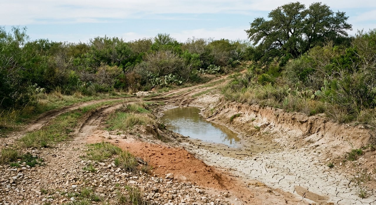
Wondering why one La Salle County ranch looks great from the road but feels very different once you get out on it? That is a common challenge in South Texas land buying. In La Salle County, the real story is often in the brush, the soils, and the way water moves across the tract. If you know how to read those clues, you can make a more confident decision about access, wildlife cover, and day-to-day usability. Let’s dive in.
Why La Salle County land reads differently
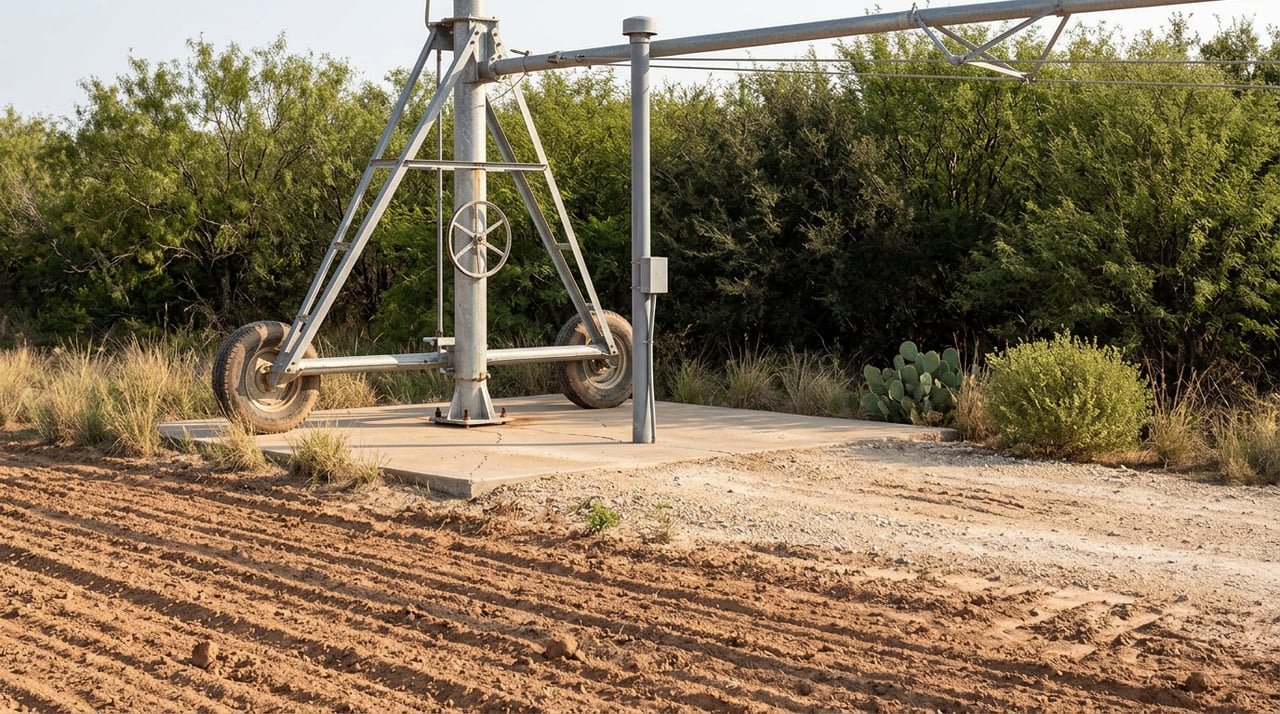
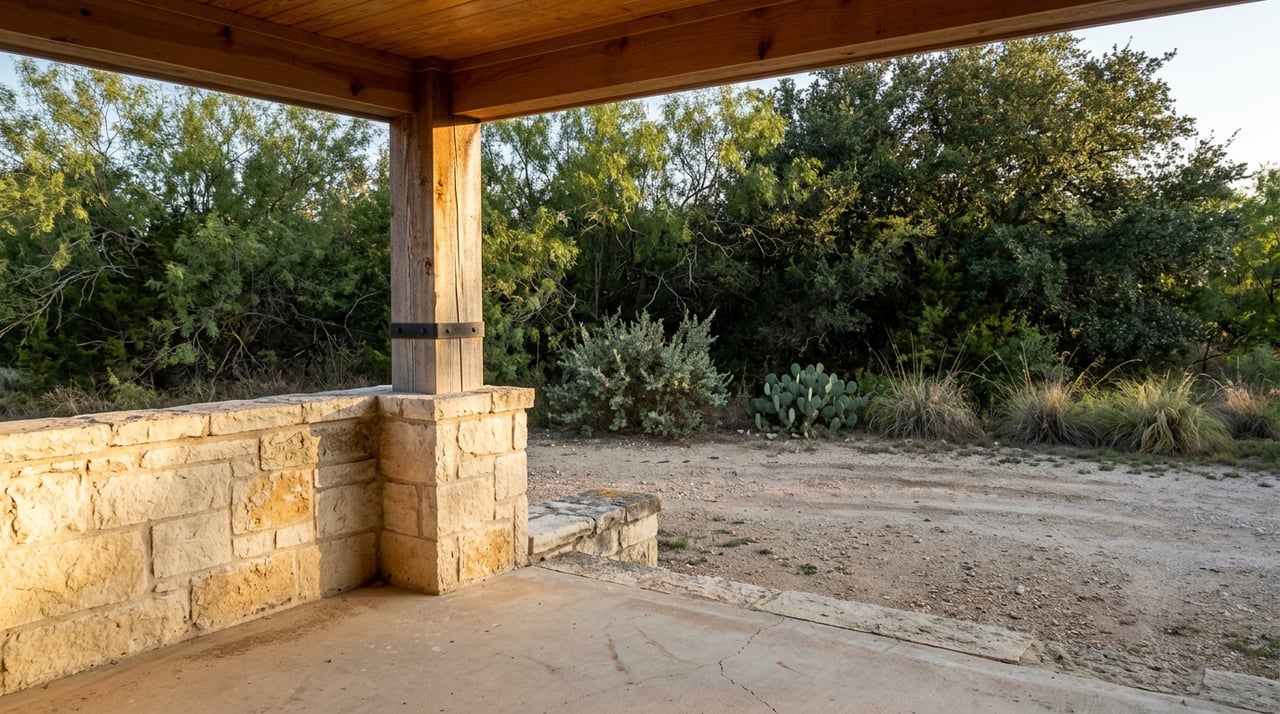
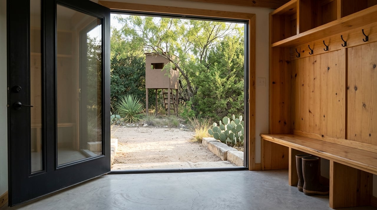
La Salle County sits in the South Texas Plains ecoregion, often called part of the South Texas Brush Country. This landscape is generally flat to rolling, with mesquite, small live oak, post oak, scrub brush, cacti, and grasses. Elevation is commonly around 400 to 600 feet.
Rainfall in this region averages about 20 to 32 inches a year, and evaporation is high. Soils can include clays and clay loams that range from alkaline to slightly acidic. In practical terms, that means many ranches here do not reveal themselves through big elevation changes. Instead, you are often reading smaller signs like brush height, soil color, shallow drainage lines, and surface texture.
Start with brush patterns
In La Salle County, brush can tell you a lot before you ever step out of the truck. Native brush communities in the area often include mesquite, blackbrush, guajillo, whitebrush, lotebush, pricklypear, condalia, and leatherstem. These plants show up again and again in local soil descriptions and are common across rangeland and wildlife habitat.
A thicker brush canopy can suggest stronger wildlife cover. On the other hand, shorter, denser brush on shallow soils can point to tougher vehicle access and less soil depth. That difference matters if you plan to drive feeders, maintain roads, or think about future improvements.
What brush does not tell you
A uniform gray-green brush field on aerial imagery is not automatically better ground. In this part of South Texas, it may simply be native brush growing on shallow or drier soils. A tract that looks lush from above can still have tight access, shallow caliche, or soil limits that affect how you use it.
That is why it helps to compare aerial imagery with what you see on the ground. Look for changes in brush type and height, open flats, drainage lines, and any exposed cuts or washes.
Watch the soils closely
One of the biggest mistakes buyers can make is treating La Salle County like one uniform soil map. It is not. The county includes several different soil patterns, and those differences can affect roads, building pads, water movement, and general ranch use.
The northwestern half commonly has deep to moderately deep, light-colored loams over clayey subsoils. In some places, limestone may sit about 40 inches below the surface. The southeastern half is more known for cracking clayey soils that range from light to black.
Some local soils are well drained or moderately well drained, yet still have slow permeability. Others may include gypsic, saline-sodic, or densic layers, with high runoff even on gentle slopes. That means a tract can appear usable at first glance but still hold important limits once you understand the soil profile.
Signs to look for on the ground
When you tour a ranch, pay attention to physical clues that say more than roadside greenery:
- Surface cracking in open flats
- Tight clay ruts on roads or trails
- Pale subsoil showing in cuts
- Hard white limestone-like material in washes
- Broad flat openings that may hold water after rain
These signs often matter more than whether the pasture looks green on the day you visit.
Understand shrink-swell clay risks
Some local soils have vertic properties, meaning they shrink when dry and swell when wet. These soils can open deep cracks during dry periods. They also present known engineering limitations.
For a ranch buyer, that can translate into added maintenance for roads, fence lines, and building pads, especially on clay flats. If you are considering improvements, it is worth asking how the tract behaves after weather swings and whether certain areas stay stable for routine access.
Read drainage, not just water color
Most of La Salle County drains toward the Nueces River, while the northeastern quarter drains toward the Frio River. Local creeks such as Salt Creek, Altita Creek, and Las Raices Creek cross low rolling to flat terrain and move through shallow depressions before joining the Nueces system.
Their upper reaches are described with scrub brush, cacti, and grasses, while lower reaches can support water-tolerant hardwoods and grasses. That matters because a darker green strip or tree line may signal a drainageway or wetter bottom rather than a year-round creek.
A green line is not always permanent water
On aerials, a green strip can be easy to overvalue. In La Salle County, it may mean:
- A drainage corridor
- A seasonal low spot
- A ponding area
- A bottom with more moisture than the uplands
It does not automatically mean reliable stock water or a permanent flowing creek. If a tract includes a tank, pond, or low-water crossing, one of the most important questions is whether that feature is runoff-fed, seasonal, or tied to a defined drainage channel.
Know the difference between uplands and bottoms
A solid ranch evaluation in La Salle County usually starts with separating the tract into three broad parts: uplands, clay flats, and drainage corridors. Each one can support different uses and present different limitations.
Uplands may offer better access and drier travel conditions, depending on the soil. Clay flats can look open and useful, but may present shrink-swell issues, rutting, or seasonal access challenges. Drainage corridors can add visual appeal and wildlife value, yet they may also hold water, pond, or limit where you want roads and crossings.
This is one reason land buyers benefit from looking beyond acreage totals. Two tracts with similar size and similar brush cover can function very differently depending on how those three elements are laid out.
Use maps before the showing
Before you tour a property, one of the most useful free tools is the NRCS Web Soil Survey. It gives public access to soil-resource data and can help you identify map units and common limitations ahead of time.
A practical approach is to compare three things before you drive out:
- Soil map units
- Aerial imagery
- Topographic lines
Then compare that desk work with the listing description. Ask where the uplands stop, where the drainages begin, and how water moves after a hard rain.
Smart questions to ask on a La Salle County ranch
If you are buying land in this county for the first time, a few focused questions can save time and prevent surprises.
Questions that help clarify usability
- Is the brush mostly native cover, or does it point to shallow, rocky, or caliche ground?
- Are the low spots drainageways, ponding areas, or usable bottoms?
- Does the tract have enough better-ground access for trucks, equipment, or feeder routes?
- Are the soils likely to shrink and swell in ways that could affect roads or improvements?
- If there is a tank or pond, is it seasonal runoff water or tied to a defined drainage channel?
These are not technical questions for the sake of sounding informed. They are practical questions that help you understand how the ranch will work in real life.
Why this matters for buyers
La Salle County ranches should be read as working landscapes, not just as brush-covered acreage. Soil series, brush composition, and drainage lines are often the clearest clues to access, wildlife use, and overall usability.
That is especially true if you are buying for recreation, hunting, long-term enjoyment, or future improvements. A land-first view helps you judge what the ranch is today and what it may require over time.
If you want help evaluating a La Salle County ranch with a practical South Texas land perspective, Craig Wilson South Texas Land can help you look past the surface and focus on the details that matter.
FAQs
How do you evaluate brush on a La Salle County ranch?
- Look at brush type, height, and density together. In La Salle County, native brush may support wildlife cover, but shorter, denser brush can also point to shallow soils and tougher access.
What do cracking soils mean on La Salle County land?
- Cracking clay soils can shrink when dry and swell when wet. That can affect roads, fence lines, and building pads, especially on flatter parts of a ranch.
Does a green drainage line on a La Salle County aerial mean permanent water?
- Not necessarily. A green strip may indicate a drainageway, ponding area, or wetter bottom rather than a year-round creek or dependable stock water source.
What should you check before touring a La Salle County ranch?
- Review soil maps, aerial imagery, and topographic lines first. Then ask where the uplands, clay flats, and drainage corridors are located and how water moves after a hard rain.
Why do two La Salle County ranches of similar size feel so different?
- Similar acreage can function very differently based on soil type, brush composition, drainage layout, and access across the tract.